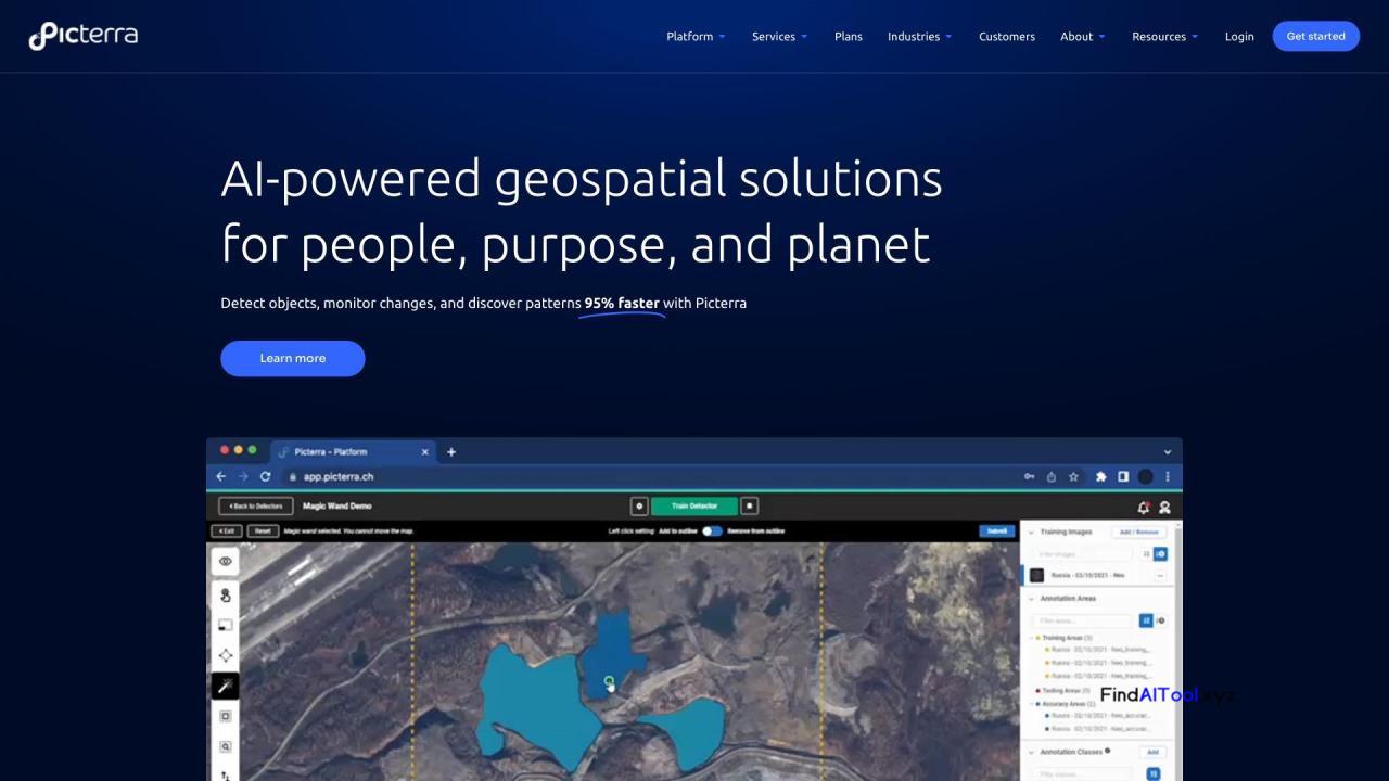
Picterra is a cutting-edge software platform that revolutionizes geospatial analysis through AI-powered solutions. It enables users to train, deploy, and manage machine learning models for detecting objects, monitoring changes, and uncovering patterns in satellite, drone, and aerial imagery with remarkable efficiency. The cloud-native platform streamlines geospatial workflows, offering tools for imagery sourcing, processing, and detector training support.
Key features include change detection, tracking, and monitoring capabilities, along with customizable dashboards for result visualization. Picterra’s AI-driven approach accelerates object detection and pattern discovery by up to 95%, significantly enhancing productivity across various industries. The platform caters to diverse sectors such as forestry, agriculture, mining, infrastructure, and consumer goods, providing tailored solutions for each field.
Ideal for businesses, researchers, and organizations dealing with geospatial data, Picterra empowers users to optimize their workflows and drive sustainable action. It proves particularly valuable for those involved in carbon markets, regenerative farming, quarry management, and infrastructure monitoring. By leveraging Picterra’s advanced AI capabilities, users can gain deeper insights from geospatial imagery, make data-driven decisions, and improve operational efficiency.
Ultimately, Picterra transforms the way geospatial data is analyzed and utilized, offering a powerful tool for professionals seeking to harness the full potential of satellite, drone, and aerial imagery in their respective fields.


